India’s geospatial economy expected to cross Rs 63,000 crore by 2025: Jitendra Singh


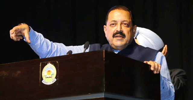
India’s geospatial economy is expected to cross Rs 63,000 crore by 2025, growing at a rate of 12.8%, and will provide employment to more than 10 lakh people mainly through geospatial startups, said Union minister of state for Science and Technology Jitendra Singh on Tuesday.
Addressing the second United Nations World Geospatial Information Congress (UN-WGIC), the minister said in the current boom of technology-led startups, there are around 250 geospatial startups in India. To provide a fillip, the Indian government has provisioned for a Geospatial Incubator.
Singh added that national organizations like Survey of India, Geological Survey of India, National Atlas and Thematic Mapping Organization (NATMO), Indian Space Research Organisation (ISRO) and National Informatics Centre implemented several GIS-based pilot projects across a range of domains like waste resource management, forestry, urban planning, etc. to demonstrate the applications of Geospatial Technology.

“The government, industry, researchers, academia, and civil society are coming together to establish quality geospatial ecosystem to build key solutions. Democratization of Indian geospatial ecosystem will spur domestic innovation and enable Indian companies to compete in the global mapping ecosystem by leveraging modern geospatial technologies and realizing the dream of ‘Atmanirbhar Bharat’ or Self-sufficient India,” he said.
The minister said that geospatial technology and Geographic Information System (GIS) is going to make a significant impact in the way India has been adopting this technology and moving ahead.
Singh added that the rural development ministry has mapped over 45 lakh km of rural roads by using 21 data layers of the map, which has digitised information regarding water bodies, green areas, plots, and other structures essential for administrative purposes.

He said that a modernised and evolved national geospatial ecosystem cannot be developed based on the innovations and advancements in technology only. “It has to be based on the individual priorities of the stakeholders (including nations) and how it can impact the lives as well as livelihoods of the common citizens...”
“The future national geospatial ecosystem requires a holistic transformation, in order to keep up with the innovations in the digital economy to ‘break and connect the silos’ and adapt and work in coordination with these technology innovations to simplify spatial data use across all ecosystems,” Singh said.
